Boise Airport (BOI)
Orientation and Maps
(Boise, Idaho (ID), USA)
The biggest city in the whole of Idaho, Boise is the state capital and contains many important buildings, such as the state university. Whilst Boise is a modern city boasting many new buildings, it still retains much of its original 19th-century core, with many dining venues regularly spilling out onto the sidewalks and surrounding roads.
Just a short distance to the south, Boise Municipal Airport (BOI) features numerous regional and national flights, and is Idaho's main transport hub. There are also many regular buses operated by both Northwest Trailway and Greyhound, departing from the city's busy bus station along West Bannock Street. Most buses in Boise tend to travel along three main routes, the I-84 interstate, the US-95, and also the I-15 / I-20 interstates.
Boise Airport (BOI) Maps: Important City Districts
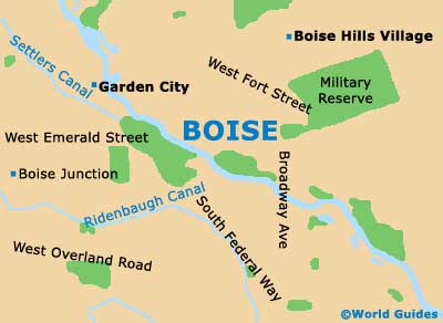
Central Boise consists of many criss-crossing streets and roads. Much of this area is divided by the Boise River, which meanders past many places of interest, such as the Ann Morrison Park, the Julia Davis Park, the Boise State University, the Bronco Stadium, the Municipal Park and the Warm Springs Golf Course.
The main Central Business District in Boise is bordered by State Street, Grove Street, 4th Street and also 9th Street. Many top dining venues and nightclubs are located in this part of the city, particularly around the Grove plaza area of downtown Boise. The trendy warehouse district can be found at 8th Street Marketplace and lies on the eastern side of the downtown area.
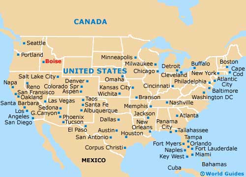
USA Map
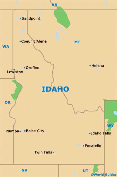
Idaho Map
Boise Map